
Tidetech stepped aboard Carnival Splendor in Sydney Harbour recently (April 2026) for something quietly significant.


Tidetech stepped aboard Carnival Splendor in Sydney Harbour recently (April 2026) for something quietly significant.
Topics: S-100

Our scientific and technical director, Sébastien Mancini, was in Wellington for Hydrospatial 2026 in March 2026 — the Australasian region’s flagship hydrographic and marine geospatial conference.
Topics: S-100

In its article Data readiness for S‑100: the ports’ perspective, the UK Hydrographic Office (UKHO) explains how ports are operating under increasing pressure — larger ships, tighter margins, more traffic, and rising expectations for the quality and consistency of navigational data. The shift to S-100 isn’t just a technical upgrade, it’s part of a wider rethink of how ports manage constrained water space, share information and make operational decisions.
Topics: S-100

When super maxi Master Lock Comanche swept across the line to claim line honours in the 2025 Rolex Sydney to Hobart, the spotlight naturally fell on the hundred footer's size, speed and crew work. But deep in the background was the quiet, methodical craft of Andy Green, the boat’s navigator and one of the most respected technical brains on the international racing circuit.
Topics: Sydney to Hobart

The 80th Rolex Sydney to Hobart is almost here. For sailors, this race is never just about wind angles and sail changes. The ocean itself is a player — this year it’s shaping up to be an intriguing one.
Topics: yacht racing

The UK Hydrographic Office (UKHO) and France’s national hydrographic and oceanographic office, Shom, have launched what is arguably the most ambitious test of S-100 data standards yet. Their international sea trials programme, running under the International Hydrographic Organisation’s (IHO) coordinated testbed framework, is not just a technical exercise, it’s a glimpse into the future of maritime navigation.

Tidetech was featured in the Australian International Marine Export Group (AIMEX)/Australian Commercial Marine Group (ACMG) annual directory, launched at Metstrade 2025 in Amsterdam. Here's the story...
Topics: America's Cup, Shipping

If shipping companies are not making way on decarbonisation in line with the International Maritime Organisation’s (IMO) targets, then they're adrift. According to Alantra’s Maritime Decarbonisation Leaders report, the digital tide is turning fast.
Topics: speed optimisation, route optimisation, navigation, Shipping, ship efficiency

October’s Discover Maritime Innovations conference, hosted by the Maritime Emissions Reduction Council (MERC) in Sydney, was an excellent gathering of businesses and professionals focused on maritime industry decarbonisation.
Topics: speed optimisation, route optimisation, ship efficiency
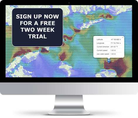
View accurate and detailed online maps of tidal and ocean currents, waves and wind with Tidemap, or integrate our unique data services with your application.
Advantages :


