
The creation of ocean current maps depend on the measurement of sea level, which is the base level for measuring elevation and depth on Earth.


The creation of ocean current maps depend on the measurement of sea level, which is the base level for measuring elevation and depth on Earth.
.png?width=800&name=H&D%20_%20Blog%20Hero%20Image%20Template%20(22).png)
Whatever craft you sail, currents can have a significant effect on your transit times across an ocean, particularly where the major ocean currents such as the Kuroshio and Gulf Stream flow. However, the beginning and end of most ocean crossings transit coastal waters, where there can be strong tides. Understanding how and why each type of current forms and where they occur increases the likelihood of a successful passage - whether it be a 'just-in-time' arrival on a ship or a podium finish in a yacht race.
Credit: NASA
Topics: currents, yacht, tides, ship efficiency, ocean
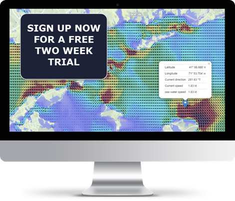
View accurate and detailed online maps of tidal and ocean currents, waves and wind with Tidemap, or integrate our unique data services with your application.
Advantages :

