Shipowners are embracing a new generation of weather routing tools as they look to optimise vessel performance in the face of higher fuel costs and looming environmental regulations. Metocean data provider Tidetech reports that owners are increasingly requesting high resolution data for regional trading patterns and coastal waters where tides and currents can have a greater impact on fuel consumption than on an ocean voyage. The renewed take-up of interest in weather routing is being driven by a combination of related factors. A combination of EU MRV, the 2020 sulphur cap and IMO DCS regulations means owners are seeking cost-efficient ways to save fuel, lower emissions and improve schedule performance on existing vessels. “There is a long standing misconception that weather services can only have a benefit when sailing in blue water and that once ships are in coastal waters or traffic separation schemes that this part of the voyage cannot be optimised,” explains Tidetech Founder and Managing Director Penny Haire. “We have proven definitively that there are more potential cost savings from optimising against currents in UK coastal and Northern European waters than there are across the whole North Atlantic and customers are already taking advantage of this in speed optimisation and performance analysis.”
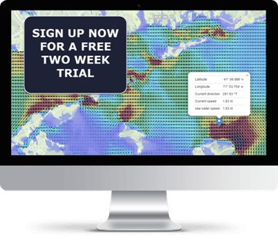
As a result, operators can predict ETA more accurately and use vessel speed and power settings to arrive on schedule, even when it changes. Tidetech is the only provider high resolution modelling of coastal tides and currents, including in critical locations such as the Malacca Strait and English Channel and also delivers combined ocean current and tide data on a global basis.
The trend is being pushed along by the exponential growth in competitively-priced satellite bandwidth and by the greater use of fleet management systems that can combine layers of information to display a complete operation on a single dashboard. “For owners and operators, better data and information can feed directly into enhanced fleet and voyage management, whether this is driven by compliance or commercial reasons,” adds Haire. “Not limiting one’s thinking to the idea that voyage optimisation is only about deepsea shipping also means there are completely new classes of vessel that could benefit, including coastal and short sea vessels, ferries, workboats and OSVs.”
Using enterprise-grade cloud-based servers means Tidetech can generate tidal models in minutes which would have previously taken a day on a supercomputer and deliver group files for ingestion into onboard systems with minimal satellite bandwidth consumption.