No matter how advanced technology becomes, weather forecasting will always carry a degree of uncertainty. Nature is unpredictable, but by combining powerful technology with data, we can produce reasonably reliable evidence-based forecasts for up to ten days.
Researchers say that even with the advanced technology we have today, forecasting more than 15 days is just not possible. Forecasts even start to get unreliable before the day ten mark.
So what about beyond those ten days? Why is it so difficult to extend the time frame of reliable forecasting even just one more day? To put it simply, the accuracy of forecasts beyond ten days decreases rapidly because small errors in a model's initial conditions will grow larger as the forecast goes into the future.
For anyone needing a weather forecast more than ten days into the future, is there any way to get reliable information? This blog explains how weather models are made, why they can’t extend very far into the future, and how you can get the most relevant information.
How are weather models made?
To understand why weather models decrease quickly in accuracy after ten days, it’s important to understand how weather models are made.
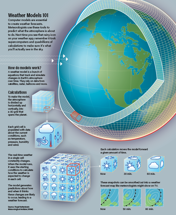
Modern weather predictions are created by inputting current conditions into computer models - the more accurate the information, the better the forecast will be. Meteorologists can use information from ground radar, weather balloons, aircraft, satellites and ocean buoys in computer models to simulate the current atmosphere and make predictions for future weather.
How do weather models turn this complicated information into your local forecast with so much data to process? The infographic below is an excellent visualisation of how the atmosphere can be broken down into ‘boxes’ to make predictions, and smaller boxes mean higher resolutions.
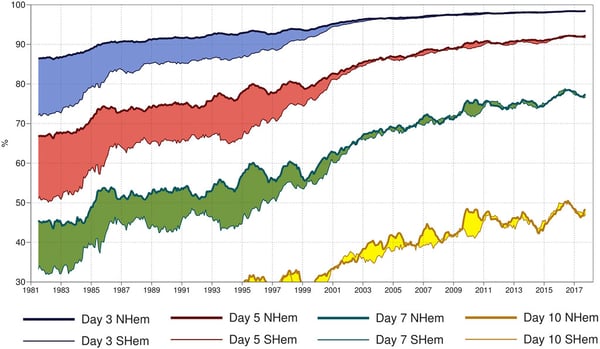
This graph below shows how longer term forecast accuracy has increased since 1981. Early on, northern hemisphere forecasts (NHEM) were substantially better than southern hemisphere forecasts (SHEM); this gap has since closed but even now, the accuracy of 7-10 day forecasts is still sub 50 percent.
Weather forecasts are improving all the time, but the likelihood of ever being able to accurately forecast beyond 15 days is out of reach for the foreseeable future. We simply don’t have enough detail of observations for the whole planet at high enough resolution.
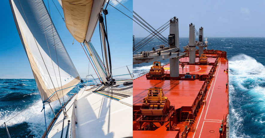
Is there a way to prepare for ocean voyages longer than 10 days?
Not having much insight into weather conditions beyond day seven poses difficulties for trans ocean voyages, especially when Atlantic crossings can take 10-20 days and Pacific crossings 15-30 days. How should the weather be handled on these voyages? Traditionally mariners have used routing charts, which provide monthly statistics on a large scale for the different ocean basins worldwide.
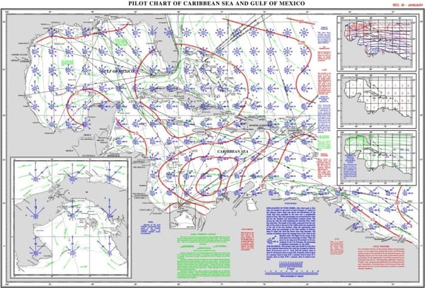
The issue with these routing charts is that they are quite low in detail, and they can’t be easily integrated into today’s digital voyage optimisation platforms. They also haven’t factored in climate change, which makes any statistics generated from data over 20 years old much less relevant.
There has to be a better way!
There absolutely is a better way! The answer is a more detailed, digital version of routing charts, using climatological analyses of more recent data.
Tidetech has performed large-scale climatological analyses using statistical analysis of historical metocean data, for weather, waves and oceanographic variables, on very detailed grid scales. This process provides monthly averages for each model grid point, for each parameter. You can liken it to a digital version of a paper routing chart, but with far greater detail and based on more recent data.
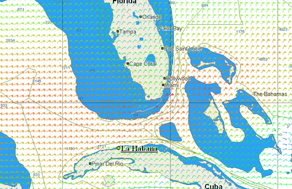
These analyses are blended with short term forecasts to provide a meaningful forecast beyond ten days, by combining accurate short term weather, wave and current forecasts with climatological data. As the extended forecasts beyond ten days are based on climatology, we can provide forecasts for 30 days and beyond.
Importantly, Tidetech provides these extended forecasts in digital format (NetCDF and GRIB) so they may be integrated into voyage optimisation software and planning tools.
This video shows a long term forecast of ocean currents around the Gulf Stream:
What are the benefits to having more accurate longer term forecasts?
Using large-scale climatological analyses to obtain more accurate longer term forecasts comes with an array of benefits for mariners or ship captains who are preparing for longer ocean voyages. Having access to more data during trip planning will:
- Reduce uncertainty
- Support advanced planning e.g. for new route
- Contribute to fuel savings and reduce emissions
- Improve safety by the avoidance of adverse weather
An experienced ship captain may be inclined to rely more heavily on their own experience than on data, but an unexpected storm on their preferred route can greatly impact the time and cost of their trip.
Using these more advanced models over traditional routing charts can give ship captains a better outlook on how their upcoming ocean voyage will look, allowing them to make more informed decisions and ultimately reduce costs.
Click the banner below for a free trial of our global Tidemap, and see for yourself how having this advanced information at your fingertips can impact your route planning.